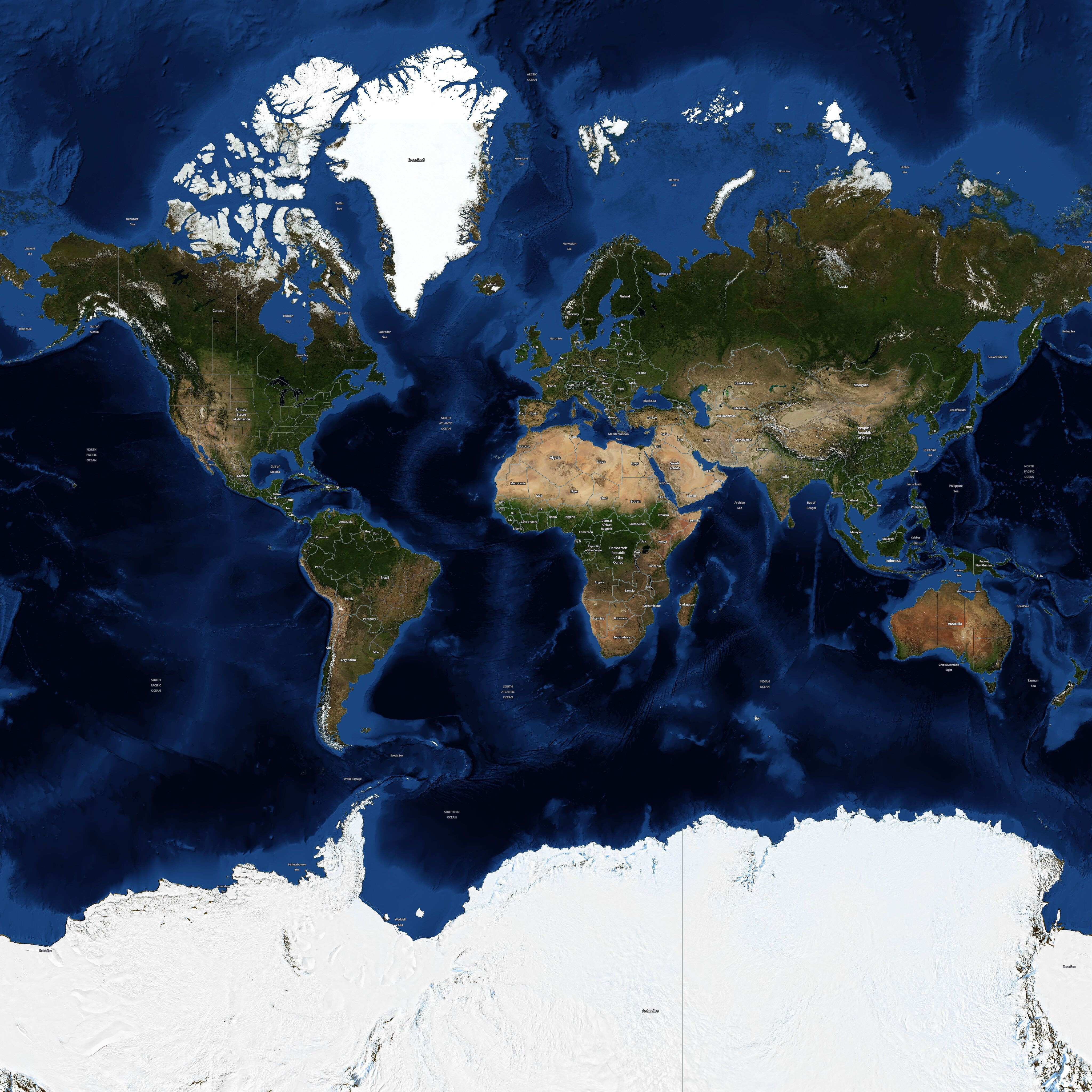
This NPM package provides access to tiles from the NASA BlueMarble_ShadedRelief_Bathymetry dataset. These tiles feature detailed representations of Earth's surface combining shaded relief and bathymetry (underwater topography). Labels originate from Open Street Map data.
The tiles can be used offline, hosted on your own servers, or accessed via the included CDN link for easy integration into web mapping applications.
To install the tiles offline via NPM, use:
npm install @freetiler/nasa-bluemarble-labeled
You can use any NPM or Github CDN to serve the tiles.
GitHub CDNs - Zoom 0-8:
 - https://cdn.jsdelivr.net/gh/freetiler/nasa-bluemarble-labeled/tiles/{z}/{x}/{y}.jpeg
 - https://cdn.statically.io/gh/freetiler/nasa-bluemarble-labeled/main/tiles/{z}/{x}/{y}.jpeg
- Minimum Zoom Level: 0
- Maximum Zoom Level on NPM: 7
- Maximum Zoom Level on Github: 8
- Projection Used: EPSG:3857
- Tile Size: 256x256
- Tile Format: JPEG
- Attribution: "FreeTiler.com | NASA | OSM Contributors"
NASA Open Data Policy: NASA has an open data policy, and you are free to use the imagery from GIBS as you see fit. Citations are not required but are requested and highly appreciated. Please see the “Data Use Policy and Acknowledgements” section here for more information: https://www.earthdata.nasa.gov/eosdis/science-system-description/eosdis-components/gibs
Open StreetMaps License: This dataset is made available under the Open Database License: http://opendatacommons.org/licenses/odbl/1.0/. Any rights in individual contents of the database are licensed under the Database Contents License: http://opendatacommons.org/licenses/dbcl/1.0/
This package is provided "as is", without warranty of any kind. Use at your own risk.

